
The Best Free Road Trip Apps
As our family prepares for our next road trip, we’re sharing our favorite road trip tips and resources. We don’t go anywhere without the best free road trip apps installed and ready to go!
Day Trip Essentials | Road Trip Essentials | Road Trip Apps | Ultimate Packing List
We’re a family of five living that minivan life. Yes, that sometimes means soccer games and swim meets… but it also means planning and taking road trips! We aim to use this time away as time to unplug, but we never cut the cord until we arrive at our destination.
Here are the resources we use to add a bit of ease to each journey — the best free road trip apps for family travel!
Navigation
You probably have your own favorite app for navigating your hometown, but consider switching it up for the needs of your trip. We use a couple different apps, changing it up depending on where we’re driving.
Google Maps
Google Maps is probably the most widely used navigation app and it’s reliable, but we use it for two key features.
While planning our trip, we assign places we want to visit to a specific list in “Your Places.” To do this while logged in, search for a destination and click “Save.” You can add to an existing list or create a new list.
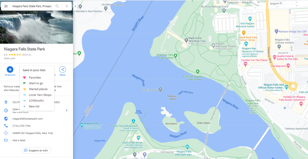
While traveling, we’re able to pull up this list and have a custom list of pit stops when our stomachs start growling!
The second key feature that sets Google Maps apart is its downloadable maps. Particularly if you’re driving to a remote area (or one with spotty coverage by your mobile phone provider), it’s a good idea to have a backup plan. We always have an atlas on hand, but you can’t beat real time GPS navigation.
To download a map, open the Google Maps app on your phone while you still have a strong connection. Search for a place, then select it. Click the kebab (three dots) on the top right and select “Download offline map.” Google Maps will also notify you when your downloaded maps are out of date.
Waze
Waze is billed as a social navigation app. The little avatars are cute and I did spend some time customizing mine, but that isn’t the primary reason I use it.
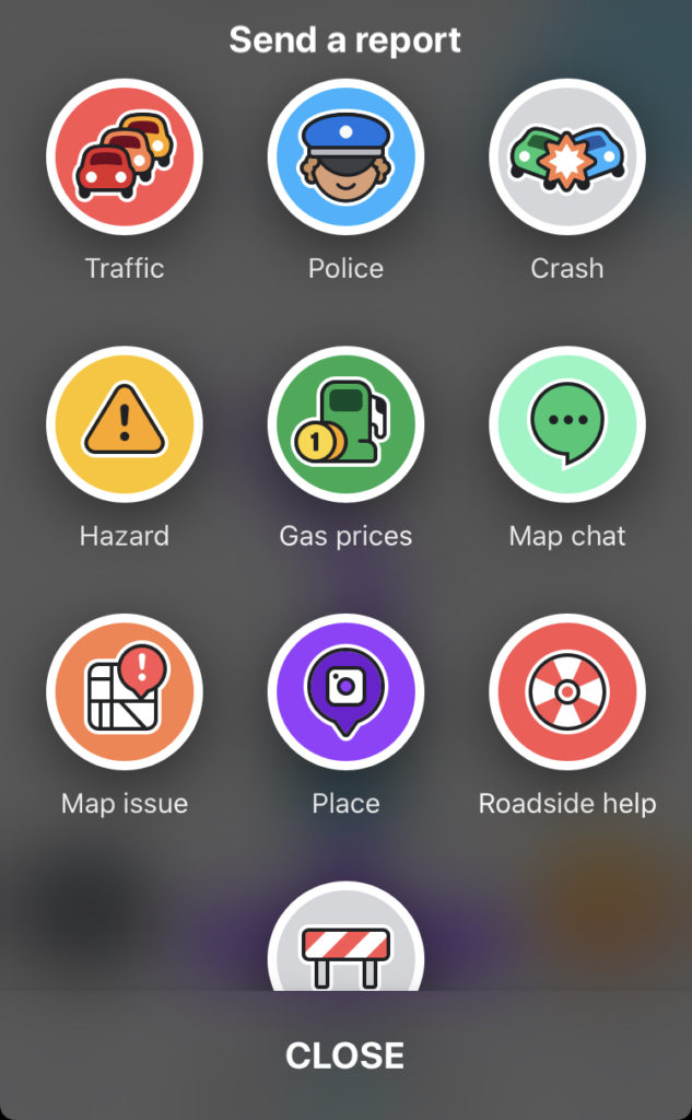
Part of the social function of the app revolves around points. Users can earn points by reporting on-road hazards, road closures, car accidents, stopped vehicles, and traffic. Users can also earn points by acknowledging another report, such as confirming that a vehicle is still stopped on the side of the road. If this sounds like a lot of interaction while driving, don’t worry! Waze allows you to report this information hands-free.
This social aspect is just a way to encourage users to frequently share the information Waze really wants: road conditions. Based on the flow of information, Waze provides the most up-to-date navigation recommendations. The recommendations may also change while you are driving, notifying you that your route has been adjusted later in the trip to avoid the building traffic ahead.
We find Waze most useful when traveling in or near cities as it “remembers” traffic patterns and reflects changes almost immediately.
Pit Stops
Everyone travels a bit differently. We gave up the no-break, no-stop, just-hold-it push of hyper-focused family road trips long ago. We now plan travel days as vacation days, stopping along the way to sample the interesting things the road has to offer. These are the best travel apps for finding your next pit stop!
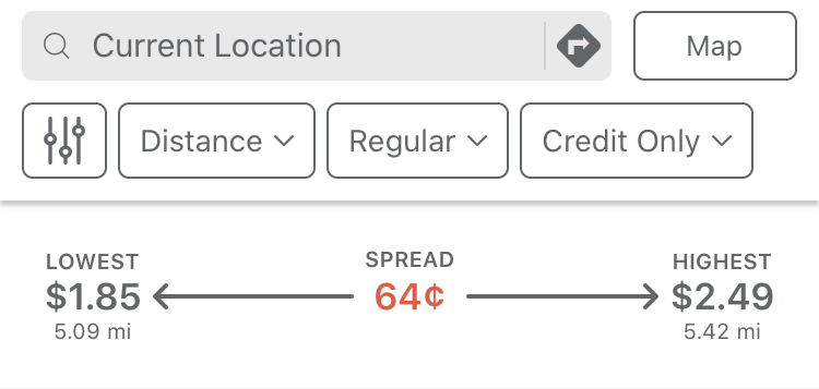
Gas Buddy
While most navigation apps have built-in notification of gas prices nearby, Gas Buddy is king when it comes to searching the area around you. It provides an overview of the prices from low to high and calculates the spread. The current range in my area is $1.85 to $2.49, a 64¢ difference per gallon!
Gas Buddy includes the ability to toggle on cash prices, which are usually lower by about 10¢ per gallon. You’ll also be able to see listings for clubs that require memberships to purchase gas, like Costco, BJ’s, and Sam’s Club. This requirement is noted in the amenities.
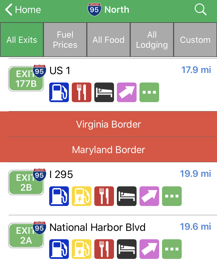
iExit
If you’re traveling on a major interstate, iExit is an excellent tool to determine what’s at the next stop. All destinations are within 3 miles of the exit.
Food, lodging, and attractions are shown with the Yelp star score and one tap will take you directly to the reviews without leaving the app! We find the ability to search the exits ahead for amenities (like WiFi) or regional restaurant chains to be particularly useful.
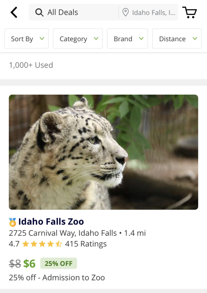
Groupon
Whether you’re looking ahead for things to do at your destination or you’re stopping along the way, Groupon is an app you can’t afford not to have! Not only does it save us money on each trip, but it gives us a peek into what each area offers.
“Groupon” is a portmanteau of group coupon. Groupon was originally only able to offer deals with a large group buy-in. Now anyone can take advantage of the deals! We mostly use Groupon to find deals on restaurants and activities. It helps us understand what an area has to offer, especially if we’ll only be there for a meal or an afternoon.
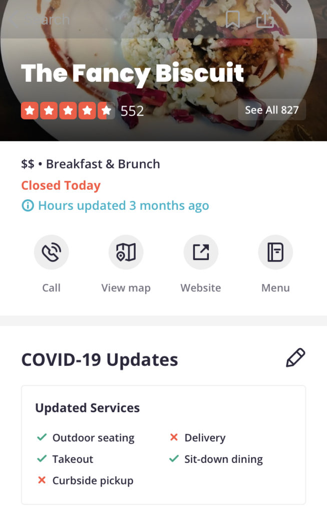
Yelp
There are many restaurant-reviewing apps out there, but Yelp is our favorite. We enjoy the community aspect. If there’s a commenter whose tastes we find we can trust, we’ll follow their advice and head to the next restaurant they recommend! We’ve found many gems this way.
Recently we’ve found Yelp to be exceptionally useful when determining what a particular business is doing to comply with COVID-19 restrictions, which vary widely from area to area. Curbside pickup, outdoor dining, limited capacity, social distancing, and sanitizing are all detailed on each restaurant’s page.
For families traveling with sleeping children, the curbside designation is a blessing. Now there’s no need to rely solely on fast food!
Entertainment
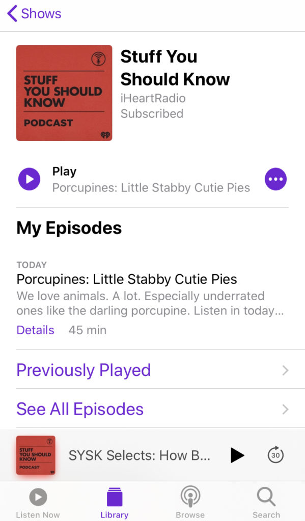
Apple Podcasts
For in-car entertainment, podcasts are my go-to. (I do have to drive!) There are many podcast apps out there, but I prefer the sleek and simple design of Apple Podcasts. If you have an iPhone, you already have Apple Podcasts! (If not, there are plenty of other podcast apps out there.)
Regardless of what you use, be sure to download your episodes before you go. (This requires clicking the down arrow beside them.) Depending on your app setup, your default may be to stream the episodes. Streaming on the go may result in choppy listening and will use your wireless data.
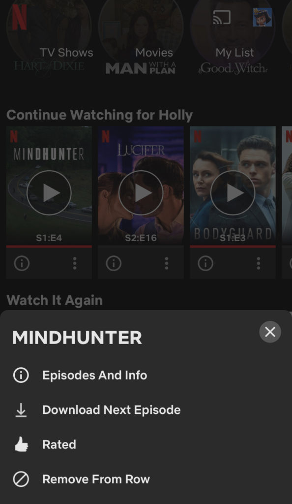
Netflix
It’s definitely showing our age to disclose that we’ve had Netflix since a membership included a fixed number of disc swaps per month! Now Netflix is the king of streaming apps and for good reason.
Our favorite thing about Netflix for road trips is the ability to download episodes or movies directly to a specific device. We can pre-load our kids’ Fire tablets with age-appropriate material and we don’t hear any arguing over what to watch next. It also helps us avoid the in-van DVD drama of scratched discs and empty cases.
Netflix offers a 30-day trial to new subscribers, which should be long enough to get you through your next road trip!
Weather
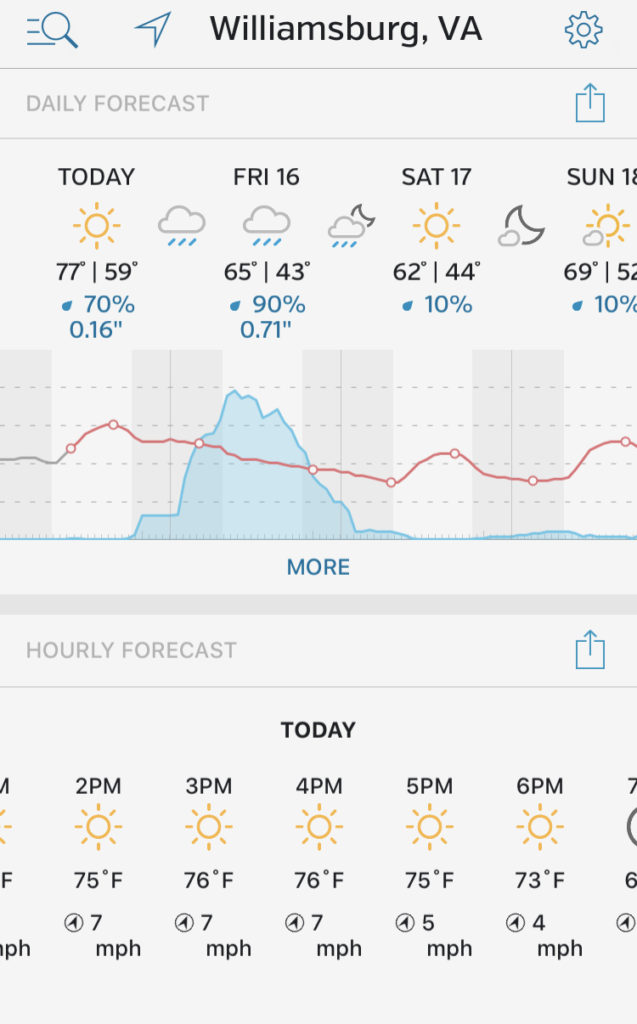
Weather Underground
Another crowdsourcing app (like Waze), Weather Underground relies on user updates to confirm accuracy of current weather. We appreciate the simplicity of the 10-day forecast, which shows high and low temps and likelihood of precipitation throughout each day in one continuous chart.
You can save your favorite destinations for easy planning (or wallowing, if you’re checking the temperatures in Florida while you’re in the middle of a Virginia January).
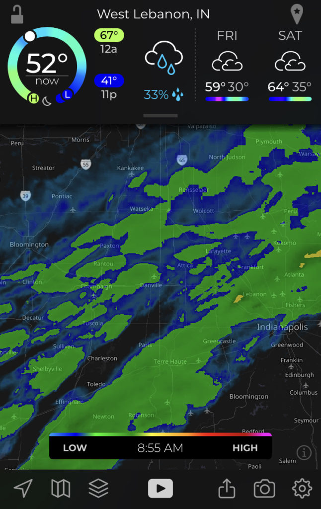
My Radar
My Radar is the best app we’ve found to “keep ahead of storms.” We set up alerts for thunderstorms that are headed our way and it has saved us from many ruined summer afternoons at the pool.
You can set alerts for anything from light rain on up and track a storm’s predicted path. Use this app to plan your outdoor activities by the minute… or just to know when you should not stop for lunch!
HONORABLE MENTION
These two resources top my list for road trips, but since they’re only available on the old-fashioned world wide web, I couldn’t knowingly include them on a list of the best free road trip apps.
Despite that, they’re fantastic resources and should still be accessible on your next trip… it will just have to be from your phone’s web browser.
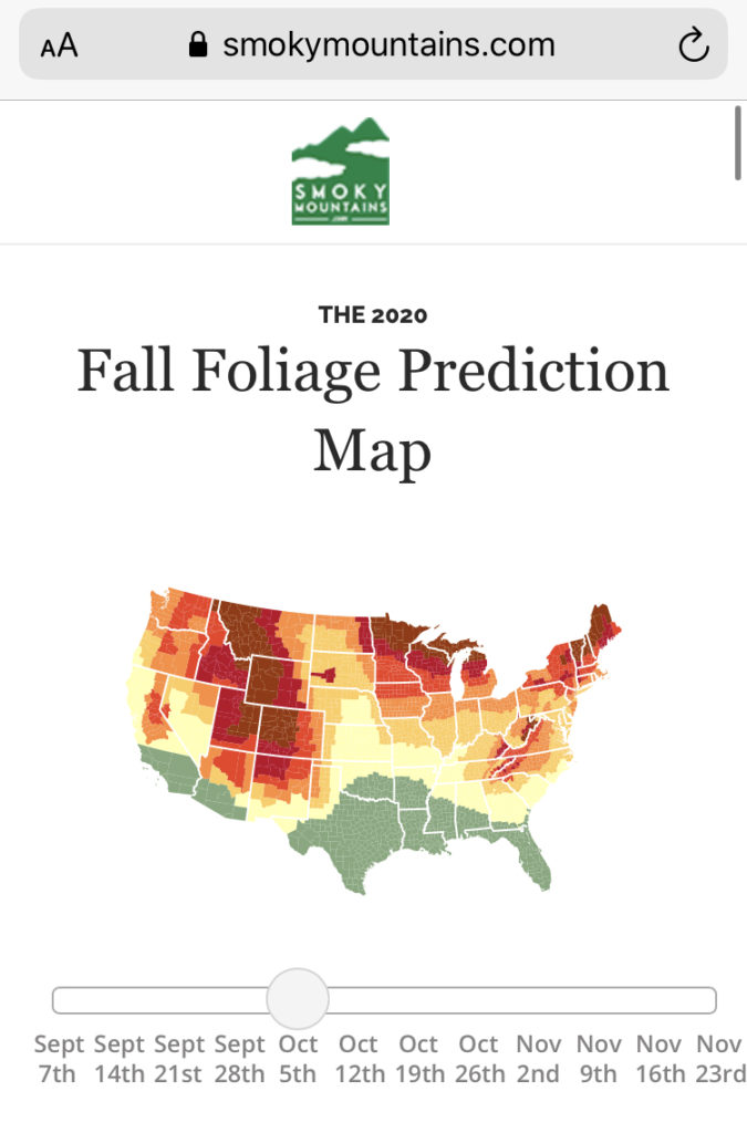
Smoky Mountains
SmokyMountains.com maintains a fantastic Fall Foliage Map for autumn travelers. It covers the entire continental United States and gives you a prediction by week, running September through November. You can easily toggle between dates to see the predicted foliage changes. Their easy identification color key runs from “no change” in foliage to “past peak” and is easy to follow. It means you’ll never miss prime leaf peeping season again!
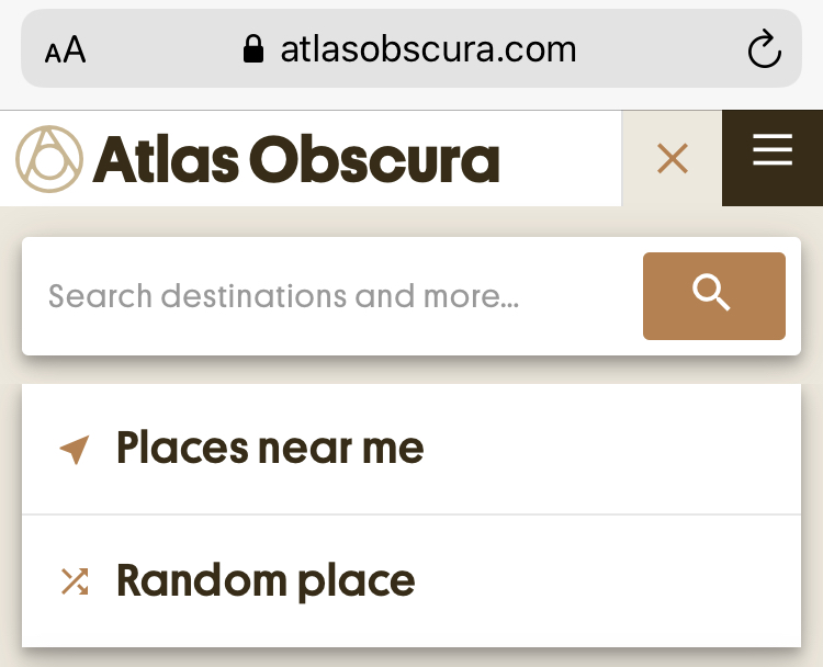
Atlas Obscura
Atlas Obscura bills itself as “the definitive guide to the world’s hidden wonders” and focuses on overlooked places of intrigue. From historical sites to unusually-shaped buildings, you’ll find it all here.
We use it to plan road trips, searching our destination ahead of time and noting any interesting spots. We’ve also selected “Places Near Me” in the search bar and been amazed at what popped up. Try it at home and see what’s around!
Atlas Obscura also features an ever-changing Place of the Day and the ability to select “Random Place” in the search bar to explore something totally new!

BONUS: For Knitters & Crocheters
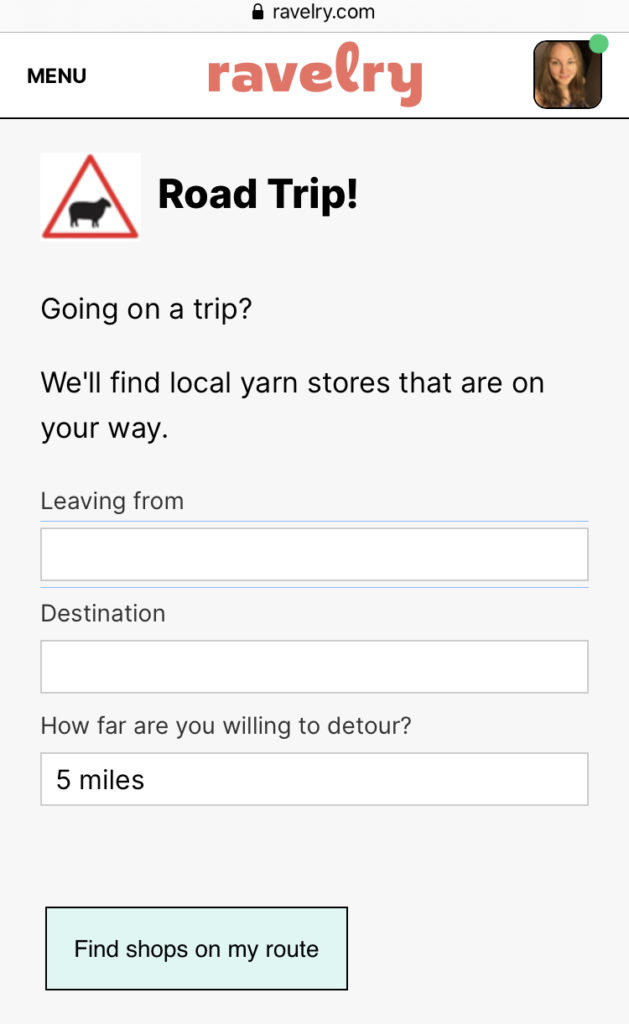
Ravelry’s LYS Finder
It’s no secret that Local Yarn Shops are my favorite type of pitstop. Several databases exist to help find an LYS by searching an area, but the best I’ve found for road trips is Ravelry’s Road Trip LYS Finder.
Simply enter your starting point, your destination, and how far you’re willing to go off-route and Ravelry does the rest! One click takes you to the shop’s Ravelry page where you can see hours and reviews or connect with patrons.
3 Comments
Pingback:
Pingback:
Pingback: